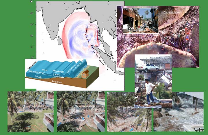
Participants crowd AIT's experts seminar on Tsunami Affected Areas
A huge crowd of participants awaited team of experts from the Asian Institute of Technology (AIT) who presented their findings and proposed activities derived from their recent mission trip to affected areas in Southern Thailand and Sri Lanka at a seminar held on 19 January at the AIT Conference Center Auditorium.
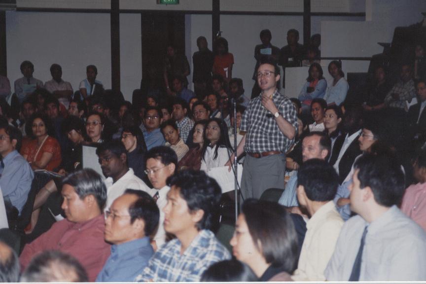
The seminar was participated by H.E. Mr. Ibrahim Yusuf, Indonesian Ambassador to Thailand; H.E. Mr. J.D.A. Wijewardena, Sri Lankan Ambassador to Thailand, H.E. Mr. Shahed Akhtar, Bangladesh Ambassador to Thailand; Mr. Nimit Damrongrat, Vice Minister, the Office of Prime Minister, representing the Royal Thai Government, members of the diplomatic corps, Counselors, Secretaries of Embassies, representatives of the Royal Thai Government, representatives of international organizations and national agencies, partners of AIT, AIT Alumni and members of the AIT community.
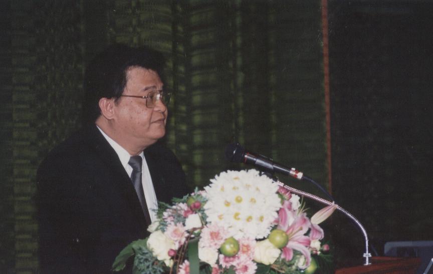
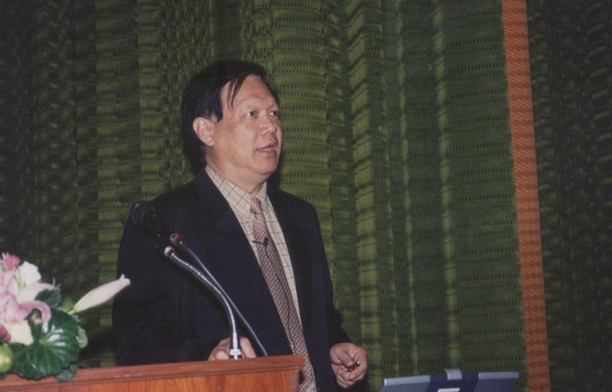
Prof. Mario T. Tabucanon (above), Acting President of AIT, delivered the overview speech on AIT's Response to the Tsunami Disaster at the opening ceremony. Prof. Chongrak Polprasert (below), Dean of School of Environment, Resources and Development (SERD) and Acting Dean, School of Civil Engineering (SCE), served as the moderator.
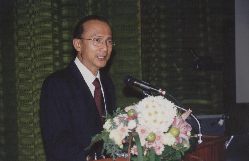
Before giving the overview speech, Acting President, Prof. Tabucanon requested all participants to rise and remain standing to pay respect to the victims of the Tsunami disaster for a minute of silence.
In his overview, Acting President, Prof. Tabucanon, welcomed all the participants and hoped that the seminar would be a learning process. He said the tsunami which hit the region on 26 December 2004 was a natural catastrophe which changed the face of the world.
'In the midst of the catastrophe, one positive thing has come up. The citizens of the world, their governments, their organizations have come together to save a part of humanity. AIT was founded to serve the region. We have been in service to the region for the last 46 years. Needs of the region... this need is a gigantic one, and we must address this particular need. But the strength of AIT is not only defined by its faculty, and staff and students. The strength of AIT also lies on its partners because AIT is not only a symbolism but also a statement of faith that together when united the citizens of the world can make a difference and save lives. We have responded to the disaster by mobilizing a team which the institute sent to Southern Thailand to examine and assess the situation and formed conclusions and recommendations that we are committed to pursue. This will be extended to other countries affected in the region. So, in the next two hours, you will be hearing the summary of thinking of experts on what is the Tsunami, what is the phenomenon, what is the survey, what is the early warning system, the mapping, the sharing of geospatial information, disaster management, and the rehabilitation, both in terms of natural and community-based approaches. So, I trust and hope that we all learn from this seminar and this will give us insight into this human catastrophe so that we will all be moving forward as one, on behalf of AIT' Acting President, Prof. Tabucanon stressed.
At the seminar, AIT team of experts disclosed that in Thailand, the mission took place from 8 to 12 January 2004, undertaken jointly with local and international agencies. The AIT team comprises three sub-groups - on (1) detailed mapping of the damage in the affected areas, (2) disaster management, and (3) environmental, social, natural resources impact assessment.
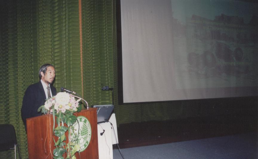
Dr. Pennung Warnitchai (above) and Dr. Sutat Weesakul (below) deliver their presentation on detailed mapping
The AIT team on detailed mapping, Dr. Pennung Warnitchai and Dr. Sutat Weesakul, made the presentation on Tsunami Phenomenon, Reconnaissance Survey and Tsunami Warning System. They said that they conducted a post-tsunami reconnaissance survey of many seriously affected areas, mainly to learn more about the impact of the tsunami on buildings and structures and its special destructive nature, toward identifying ways to mitigate such effects in the future. The team, working with many experts from various organizations within and outside Thailand, is also trying to systematically collect data in affected areas covering degree of damages, inundated area, bathymetry of the bays and coastal areas, etc. These will form a set of basic data for Tsunami Hazard Study in the future. The data will also be used for numerical modeling of tsunamis, which can be used for the identification of other potentially hazardous areas.
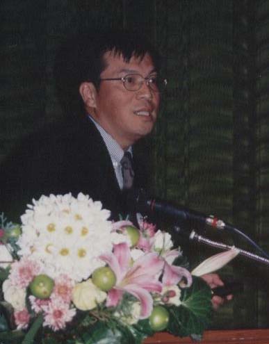
Another team member, Dr. Xiaoyong Chen (above), made the presentation on Detail 3-D Mapping of Disaster Affected Areas. He said he is producing details of the tsunami affected map by mapping the affected area and overlaying this area spatial model and aerial photographs in Phi Phi Don as a sample. He demonstrated the methodology to produce a detailed affected map using 3D information which is very important to map the relationship between wave height and elevation, which is one of the keys to map this area.
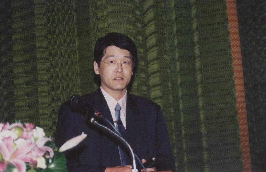
Kiyoshi Honda (above) then made a presentation on Tsunami Geospatial Information Sharing System. Dr. Honda said a geo-spatial information sharing system is also being constructed by the team to share the geo-spatial information using WMS (Web Map Service). The information includes remote sensing images; aerial photographs and existing maps for infrastructures, for road networks, for social infrastructures, for photos or movies from field surveys, and other field surveys. These items will be viewed as a map, overlaid and can be shared by users through the internet; thereby, users can view the data AIT has for their own analyses. These data are being contributed from various organizations and institutes. The data can be hold in the AIT WMS server or WMS at other institutes can serve the data. These WMS servers can be linked each other and integrate the data. These data are very useful to provide data easily to various users and it will contribute to every step of analysis. Currently, nine organizations and institutions in Thailand, Japan, and U.S.A. have already participated in this geo spatial information sharing system, have contributed their data. Moreover, some of the organizations and institutions are assisting AIT in constructing the server.
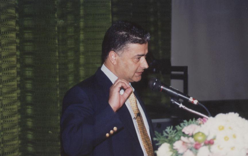
Prof. Tawatchai Tingsanchali (above), who led the disaster management team experts, gave his presentation on Disaster Management. In his presentation, Prof. Tawatchai said that after the tsunami waves hit the area, many high ranking officials from various organizations rushed onto the scene, issuing orders for emergency, rescue and relief operations with good intention. However, some of the orders were redundant, unclear or in conflict to those of the presumably authorized personnel. The authorized persons lost their identity in giving orders during and after the attack. During the emergency, rescue and relief operations, many officers themselves hesitated to take any decisions for fear of violating their authority. Some of them did not clearly realize the extent of duties and responsibilities. Many subordinates just waited for commands from their supervisors, as there was no clear emergency chapter to carry out operations on the spot. Also, there were a large number of donations of food and other supplies, some of which were not transported to the victims in remote areas due to lack of conveyance capacity. The team also found that there were a lot of problems in logistical supply, database, telecommunication and transportation. Lack of coordination and understanding among rescue and relief units of provinces, district and sub-district administrative offices, NGOs and private agencies including individual volunteers is another big problem.
He added that the situation indicated the lack of four components of overall effective disaster management: preparedness, readiness, emergency response, rehabilitation and recovery. To overcome these problems, Prof. Tawatchai suggested clear-cut policies and necessary laws as important mechanisms in disaster management. Institutional frameworks should be established to avoid repetitive and conflicting work. An effective lead agency should be established to take full responsibility for overall proactive disaster management instead of the reactive approach followed in the past at national, provincial and local or community levels. Enabling acts and legislative support should be established to allow the lead agency to carry out integrated disaster management in cooperation with other organizations. Policies and measures including an implementation plan should be developed for disaster management. Establishment of a River Basin/Coastal Zone Civil Defense Committee is needed as a lead agency to manage disasters on a large-scale level.
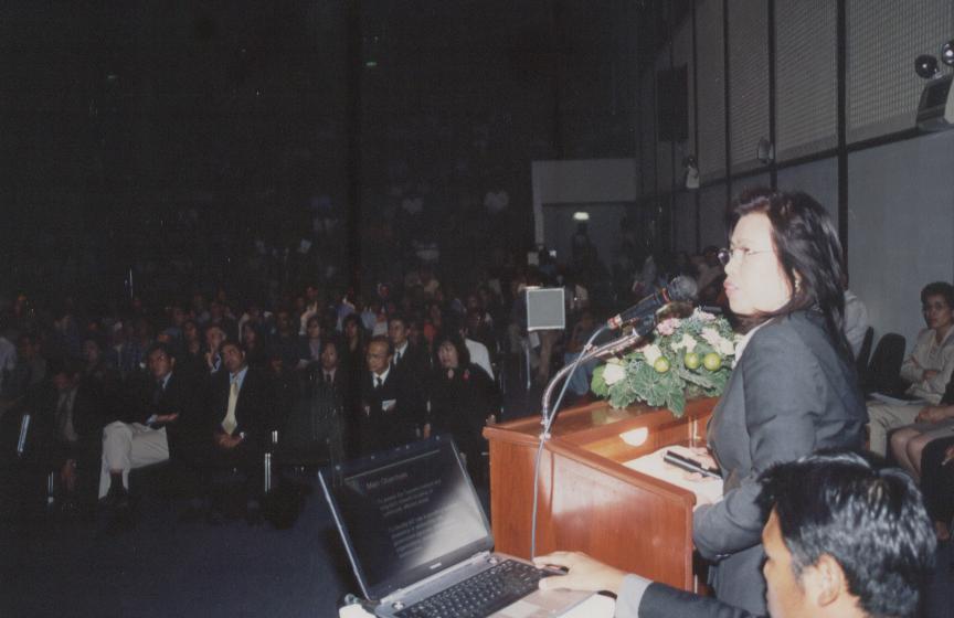
Dr. Soparth Pongquan (above) and Dr. Amrit Bart (below) make a
presentation on Natural Resources and Community Based Rehabilitation.
Dr. Soparth Pongquan and Dr. Amrit Bart of the environment and resources group made the presentation on Natural Resources and Community Based Rehabilitation. They said their studies focused on the assessment of the medium and long-term environmental and livelihood impacts on local communities in affected areas, to identify possible areas for AIT technical assistance and to seek partnerships with government agencies, NGOs, other universities, UN agencies, international organizations and the private sector.
The team found several areas that are important for rehabilitation of the tsunami-hit provinces, particularly in Phangnga along the west coast of Andaman Sea. The team suggested that AIT could provide a leadership role in the holistic development of the affected communities by using the principles of sustainable development. The institute could also assist by helping to coordinate technical assistance in the design of environmentally sound foundation and system for water and waste management, preservation of marine and coastal resources, recovery and preservation of aquaculture and other livelihood options. Additional technical assistance would include rezoning of coastal resources to mitigate natural disasters, utilization of mangroves to minimize the impact of tidal waves and other disaster as well as to prepare an integrated rehabilitation plan in fishing communities on a sustainable basis with a long term perspective.
Meanwhile, Dr. Ulrich Glawe of the School of Civil Engineering, joined experts from Tribhuvan University, Nepal, and Aachen University, Germany, for the site visits to affected areas in Southern part of Thailand and Sri Lanka. In Thailand, they visited all beaches on west coast of Phuket, main beaches of Khao Lak in Phangnga, and Ao Nang in Krabi. In Sri Lanka, they went to Sri Lanka's West Coast (South of Colombo), South Coast (Galle Province) and Southwest Coast (Yala area). During the visits to both countries, the studies included impact assessment with reference to bay/beach topography, role of shore protection structures, role of land topography/morphology, role of structures and vegetation. Issues of erosion/scouring were also documented. Highly interesting first-hand data was collected comprehensively in both countries. However, due to the enormous amount, data has not yet been scientifically processed.
The team found that in terms of impact the situations in the two countries are very different. In Sri Lanka the damage was more on infrastructure such as railway embankments, etc.
From the site studies in both countries, Dr. Glawe said a consortium of colleagues from six Asian and European universities, including the tsunami most hit countries - Sri Lanka and India - was set up, and the AIT team is currently preparing a project proposal on tsunami/natural hazard awareness education to be submitted to EC-EUROPEAID at the soonest time.
