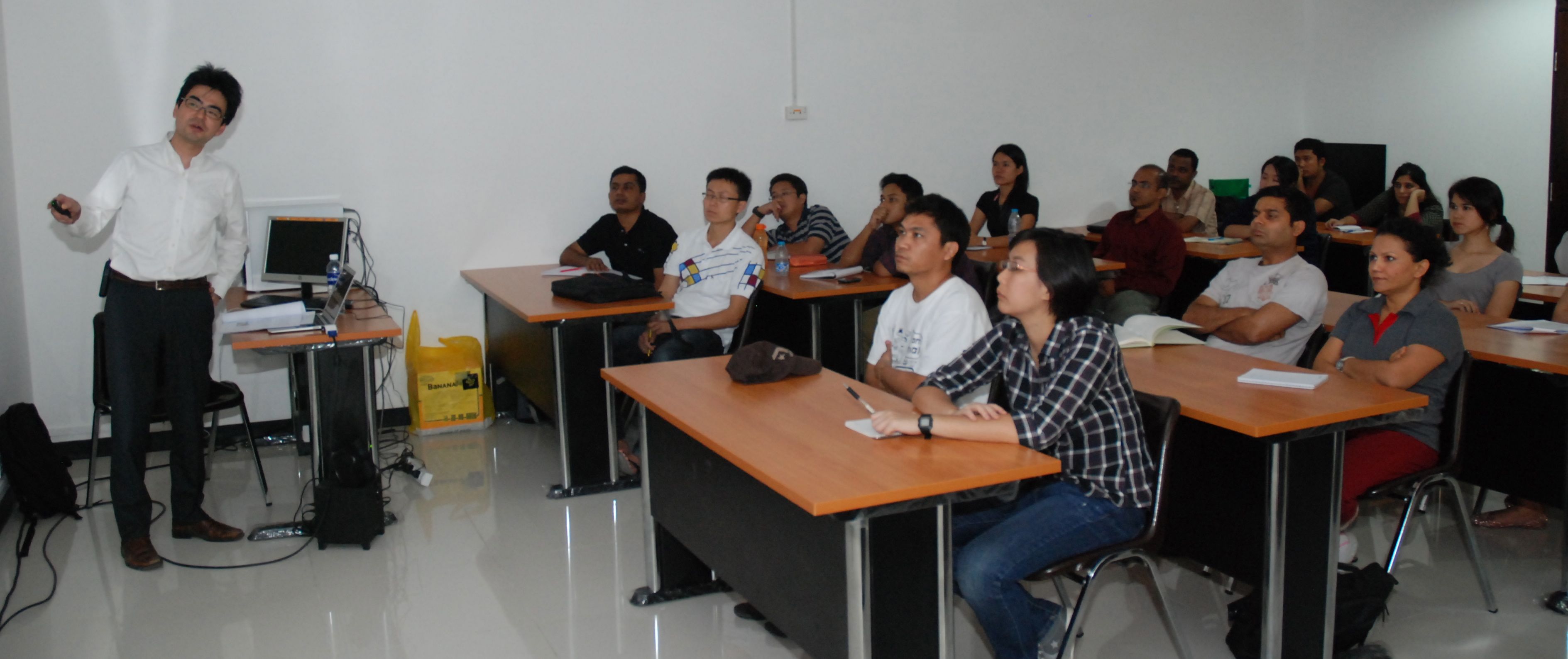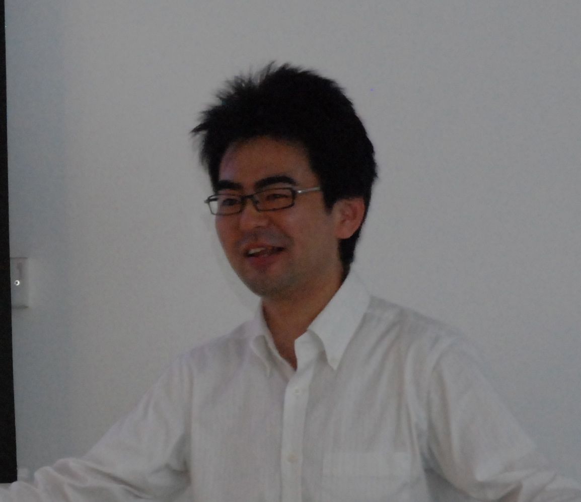
Dr. Oda, who is visiting faculty at AIT, remarked that survival
stories and chronicling them to the mainstream media has been an
important part of his post-disaster work. Quoting the example of
schools in Fukushima, Dr. Oda stated that dynamics of host-guest
relations between evacuees and those in the regular residents came into
play after the relocation of schools. Having studied migration of
Somali and Southeast Asian refugees in the United States, I could
relate to the relocation dynamics when schools were moved to newer
areas following the disaster, Dr. Oda said. Adding to the school
relocation were factors like parents moving to newer areas because of
employment, and the situation becomes quite complex.
Dr. Oda was among a group of scholars who collected information from
the disaster-hit areas to map evacuation and migration patterns.
He described how the Nippon Hōsō Kyōkai (NHK), known as the Japan
Broadcasting Corporation), telecast the earthquake and tsunami warnings
while interrupting the live transmission of the parliament session. The
Tokyo studio which was telecasting the warning was itself shaking while
transmitting these warnings. The disaster warning telecast has an
automated system where computer generated messages pop on the screen as
soon as earthquake waves are detected. This results in the warning
being delivered on television screens seconds before the earthquake
waves are felt by the residents, he added.
The lecture will be followed by a documentary screening on 24 January
2013. More details about the documentary screening are available
at this link:
https://oldweb.ait.ac.th/news-and-events/2013/events/documentary-screening-great-tohoku-earthquake-in-miyagi/