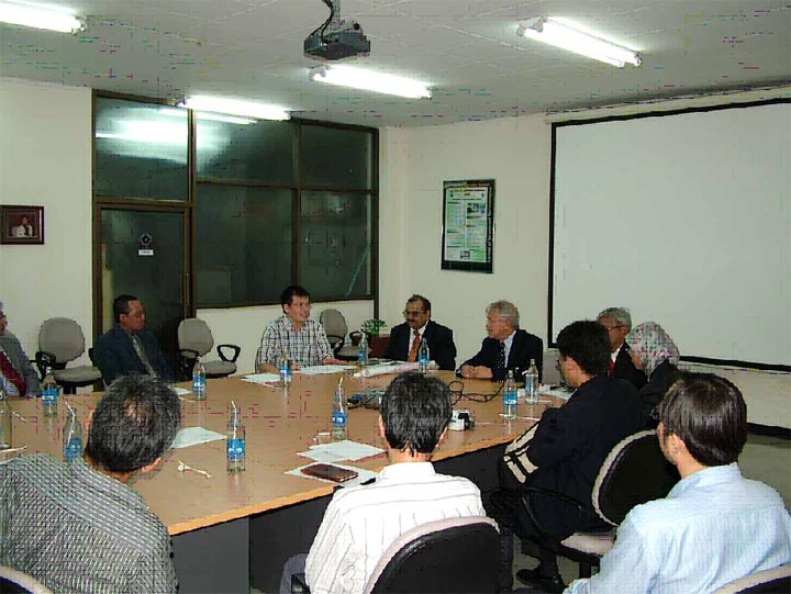
Above left: Mr. Rudolf W. Matindas, head of the National Coordinating Agency for Surveys and Mapping (BAKOSURTANAL), Indonesia, meets with AIT President Said Irandoust on 21 November 2006.
Indonesian delegation looks into RS&GIS;
On 21 November 2006, AIT President Said Irandoust received Mr. Rudolf W. Matindas, head of the National Coordinating Agency for Surveys and Mapping (BAKOSURTANAL), Indonesia, accompanied by nine staff members.
The purpose of the visit was to explore collaboration between BAKOSURTANAL and AIT. Mr. Matindas expressed willingness for flexible master's and doctoral programs as well as conducting short training courses for BAKOSURTANAL and other Remote Sensing and Geographic Information Systems related organizations in Indonesia. He has also shown interest in use of GIS for tsunami and forest fires. Later he visited SET and met faculty and senior staff members.

Above right: A delegation from Indonesia's National Coordinating Agency for Surveys and Mapping meets with SET faculty and staff.
Joining the meeting were Dr. Nitin Tripathi and Prof. Seishiro Kibe, both of SET's Remote Sensing and Geographic Information Systems, and Mr. Kyaw Soe Hlaing, alumni relations coordinator, External Relations and Communications Office.
